Experience Earth From 1000's of Miles Away!
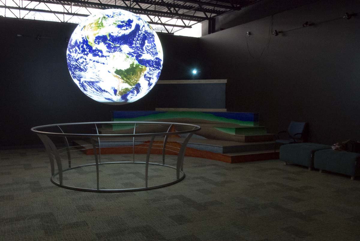
Science On a Sphere® puts the world at your fingertips by using computer and video projectors to display animated images on a six-foot diameter sphere.
Book Your Visit

Over 500 datasets to choose from!
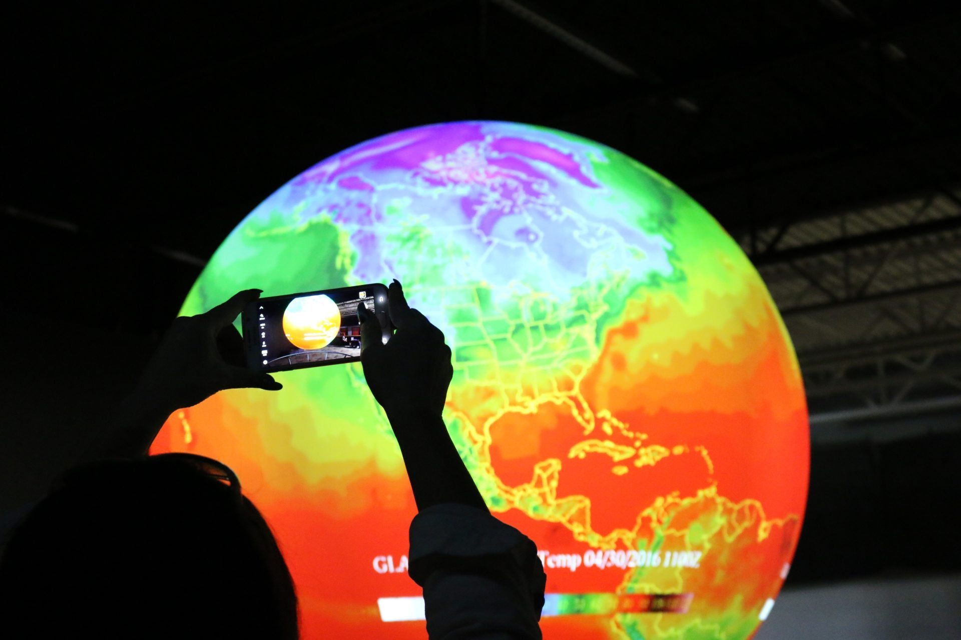
Climate change, ocean temperatures, atmospheric storms and even wildfires are just a few of the things you can view!
Researchers at the National Oceanographic and Atmospheric Administration (NOAA) developed Science on a Sphere® as an educational tool to help illustrate Earth System science to people of all ages. The objective of Science on a Sphere® lessons or presentations is to expose the audience to ideas, principles, and concepts related to science, math, and geography in a visual, easy to understand format.
Science on a Sphere® uses a unique concept that helps a viewer to visualize complex science processes in a simple format. It uses satellite data that have been transformed into visual images and, then, projected onto a sphere. The result is the illusion that the observer is watching Earth as it rotates on its axis from thousands of miles in space.
This exceptional system provides a perfect teaching tool – for public education as well as for student use in schools across the country. The lessons and activities that are included in this document are designed for use in conjunction with the Science on a Sphere®.
You can watch a hurricane form, as a small storm slowly gathers strength, traveling westward from Africa, across the Atlantic Ocean, toward the Gulf of Mexico. You can see the colorful infrared images of cloud tops meet, join, grow, collapse and disperse. The prevailing westerly winds and the easterly trade winds materialize before your eyes. You can see the Earth’s scorching desert expanses in contrast to the below-zero temperature of cloud tops. Our dynamic atmosphere roils as you watch with the help of infrared satellite imagery projected onto a movie screen-like, white sphere.


